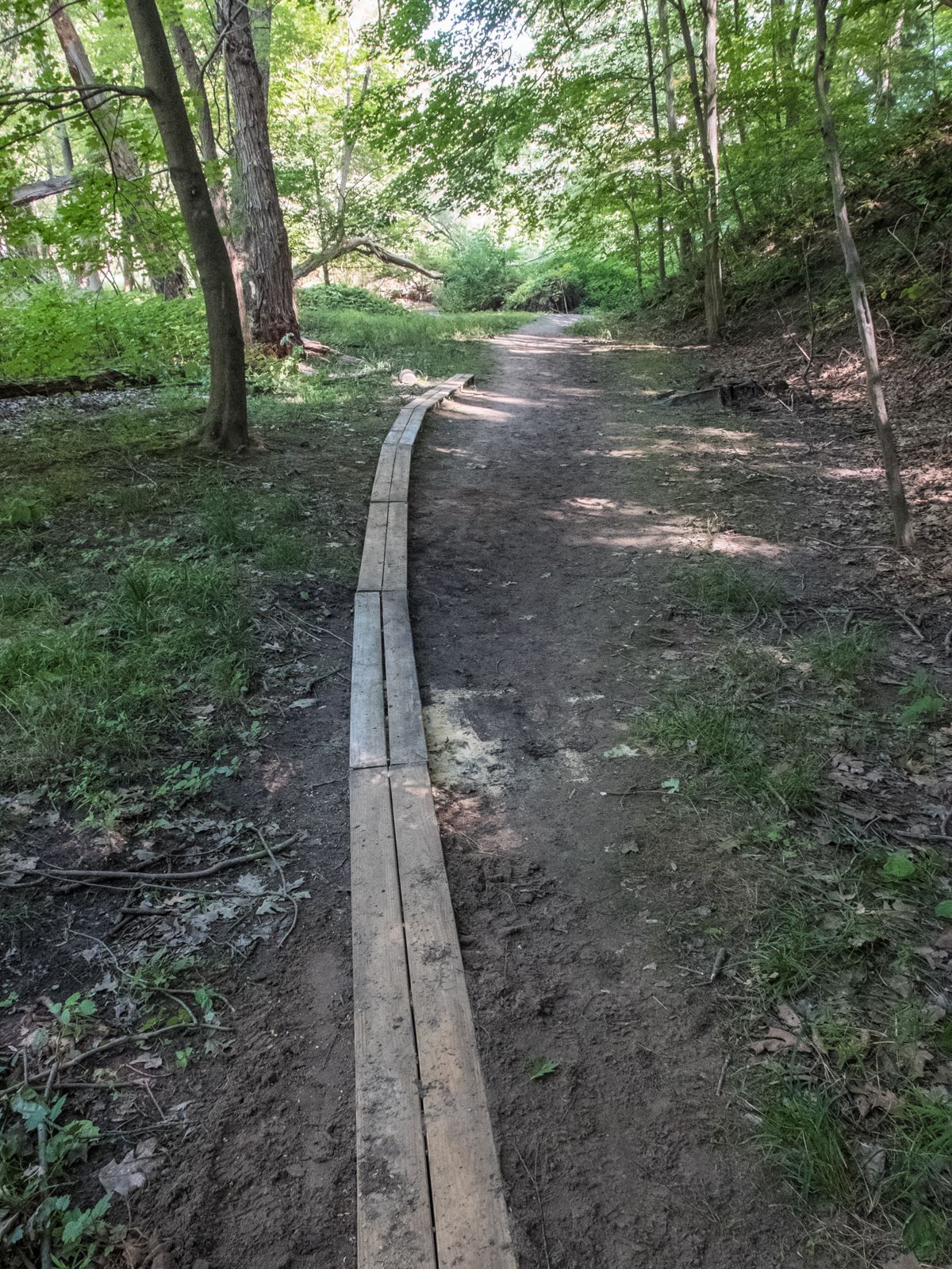
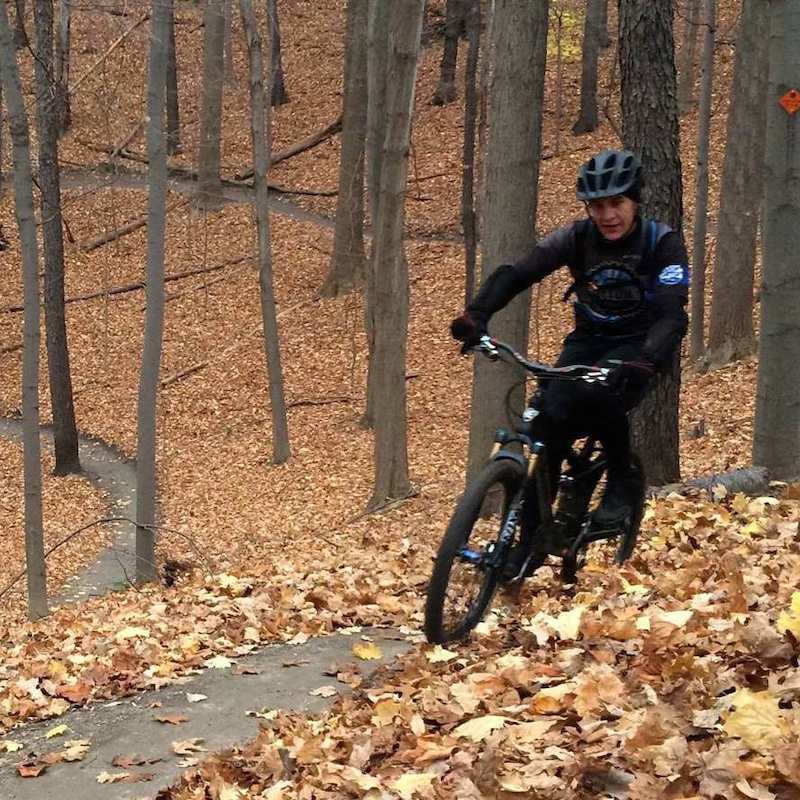
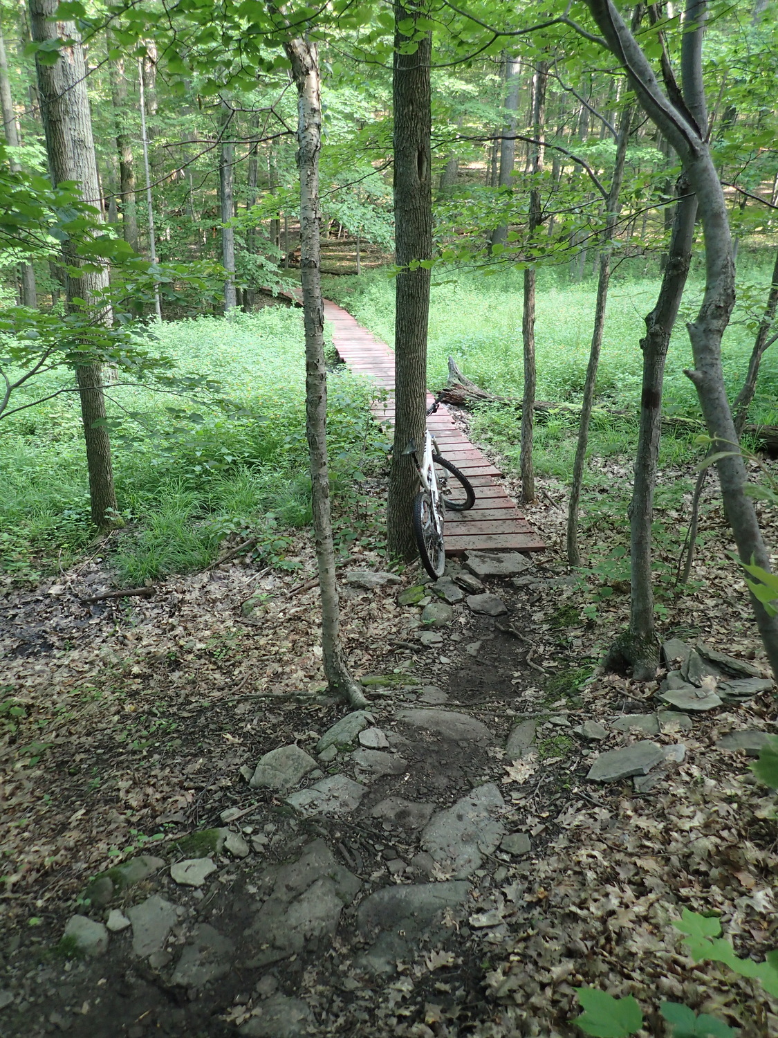
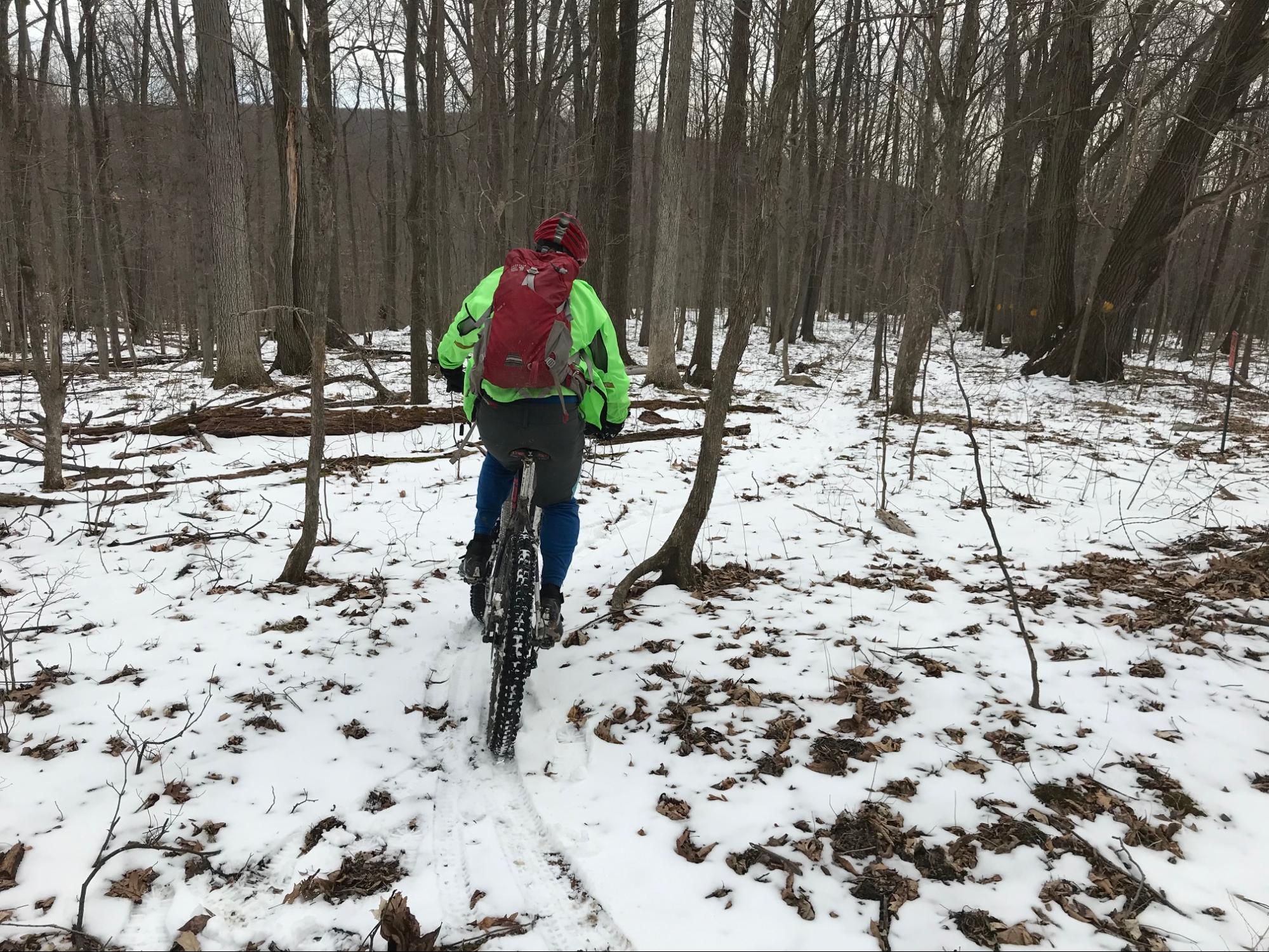
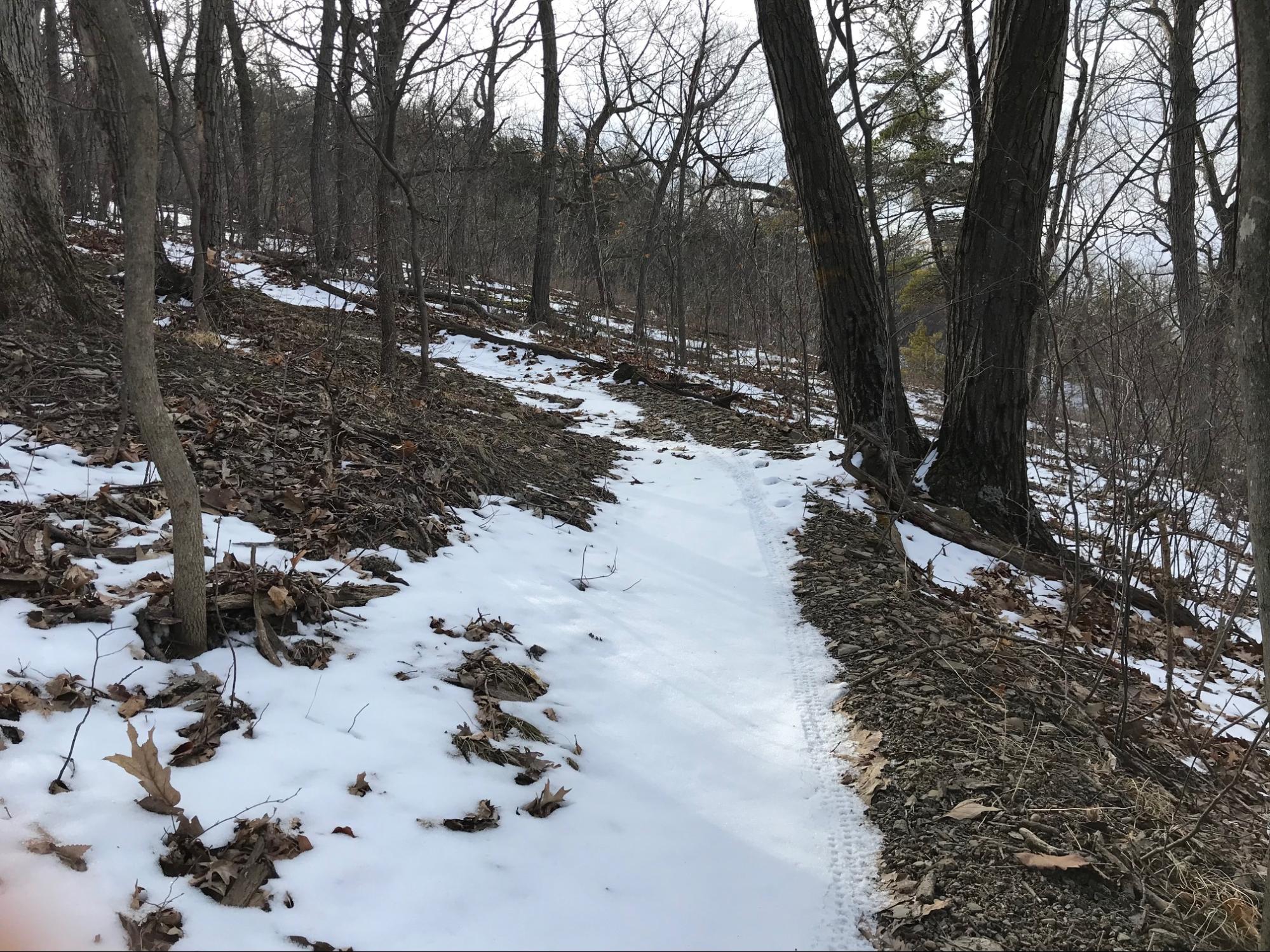
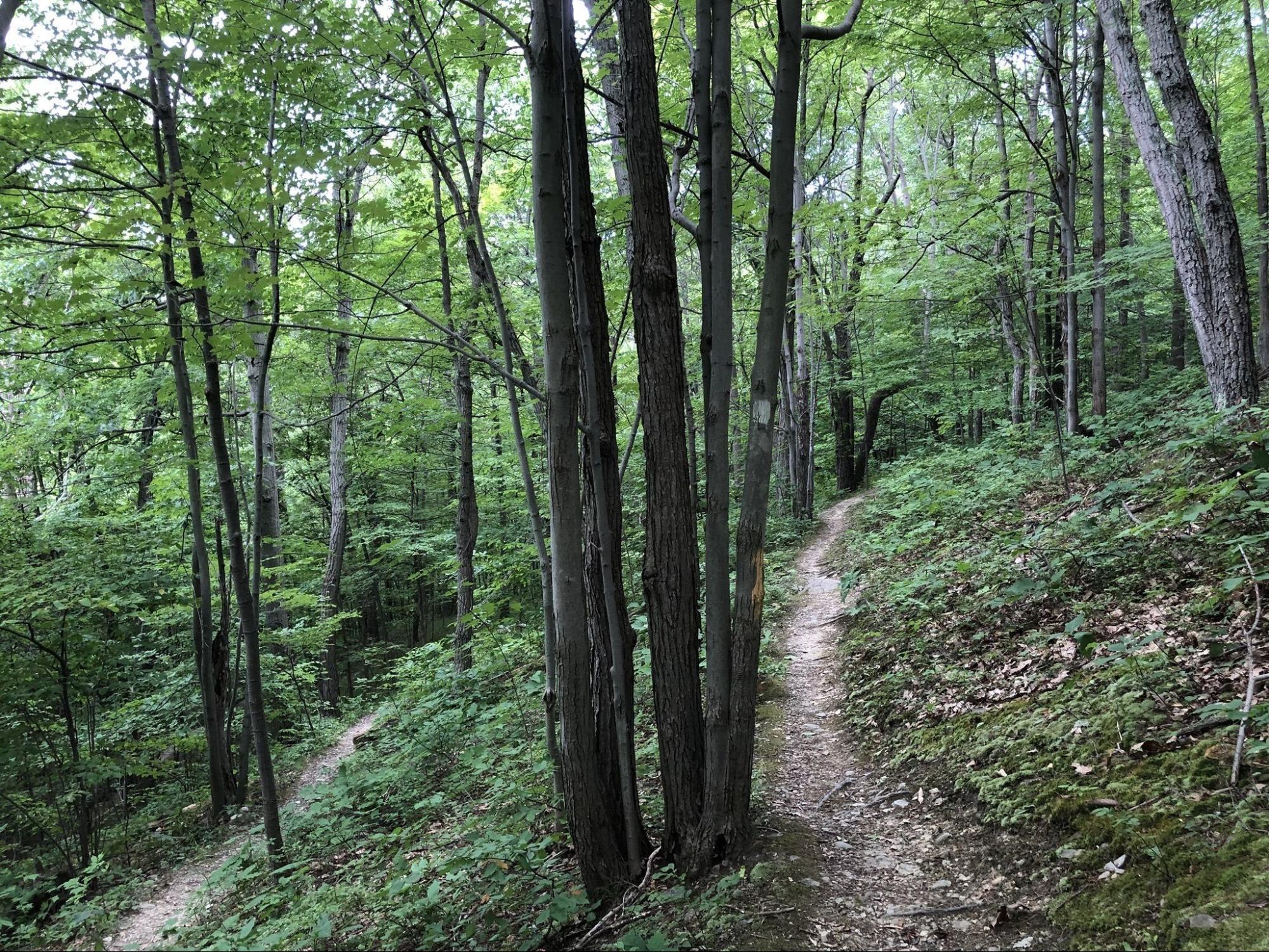
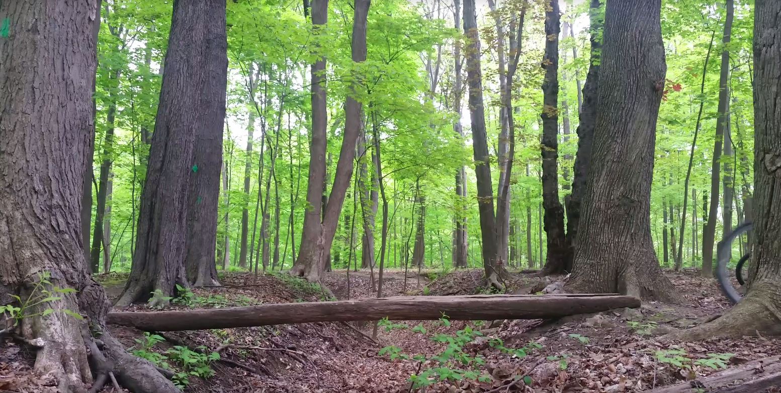
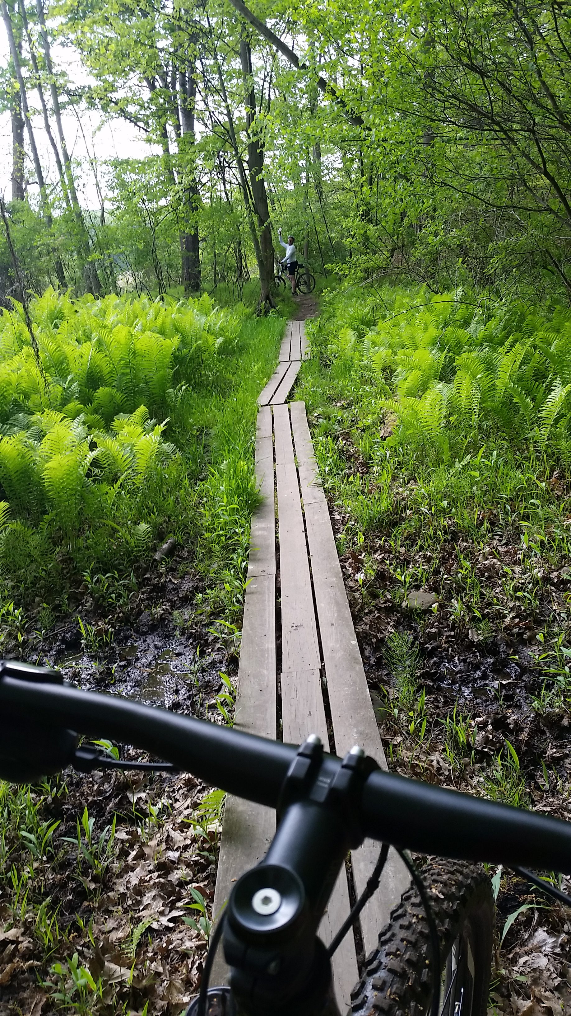
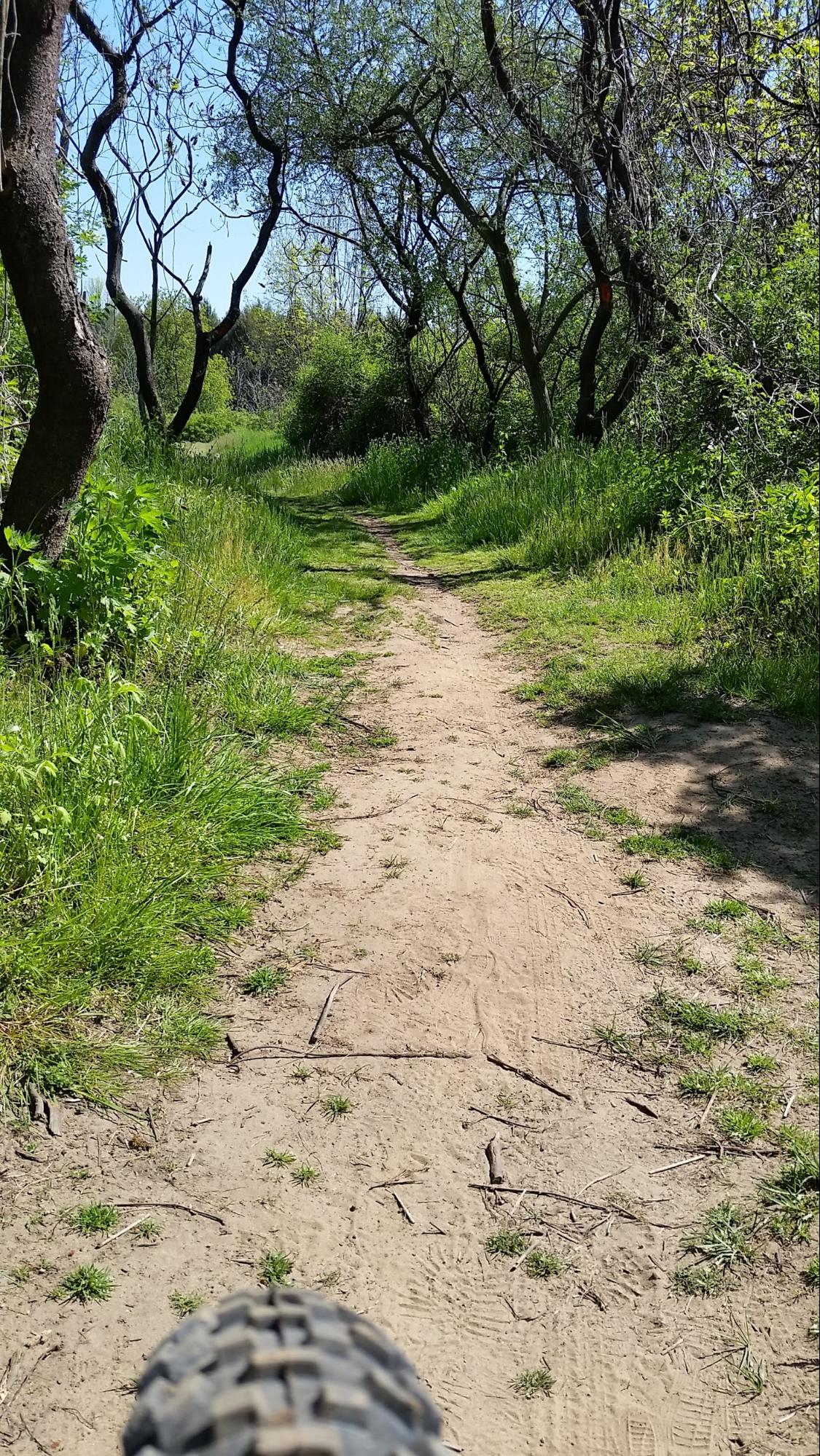
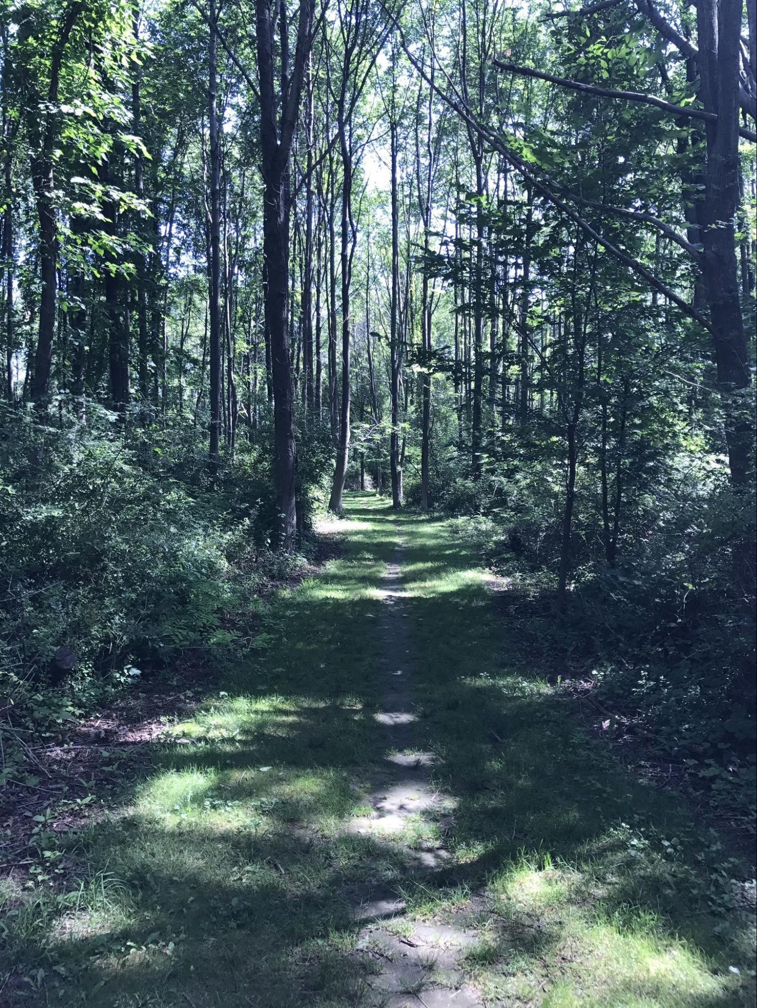
Local Trails
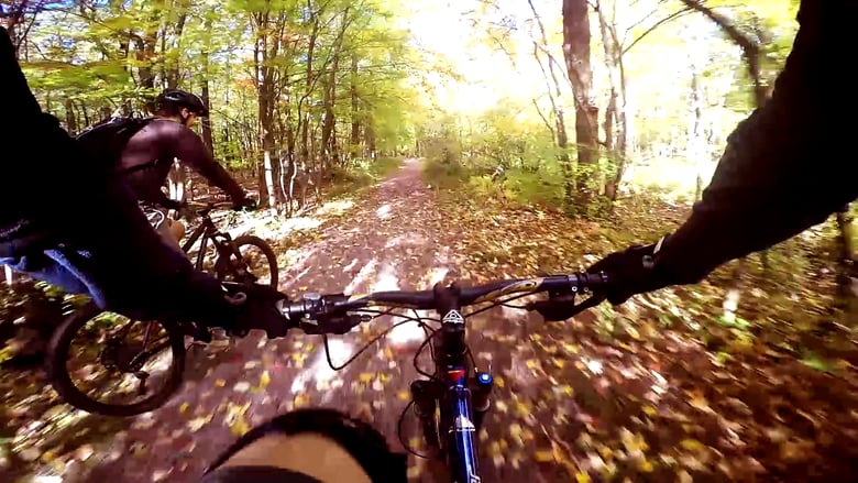
GROC maintains over 50 miles of singletrack in the greater Rochester area, spread across five local parks.
While most parks offer diverse trail experiences, the majority of Monroe County’s designated mountain biking trails are located on unimproved parklands, presenting an opportunity to enhance and expand high-quality, environmentally, socially and financially sustainable trail networks that provide for all trail user skill levels and types.
All of our trail maps are available for free via the highly-rated MTB Project app, available at no cost for both Android and iOS users. Just roll up to the trailhead, fire up the app, and your phone’s GPS will show you your location within the trail system. It’s that easy!
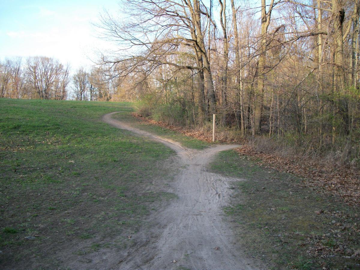
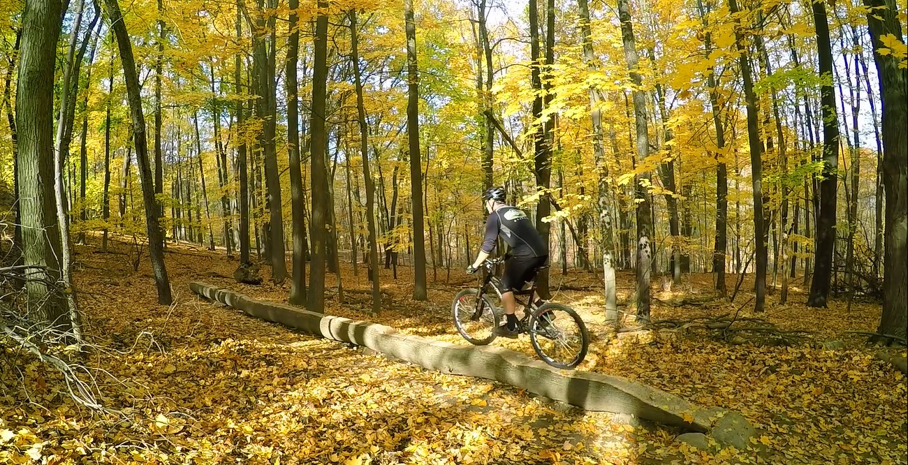
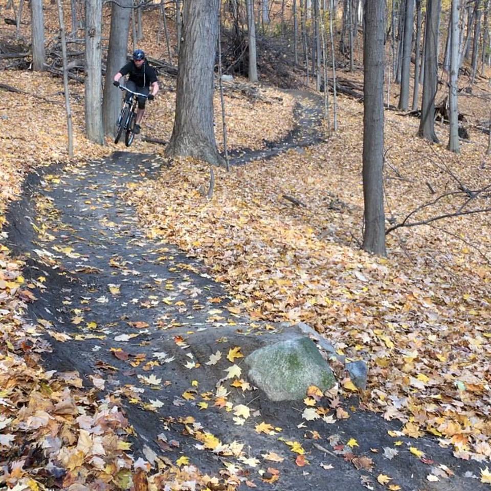
Dryer Road Park
Victor • 15 milesBeginner - Advanced
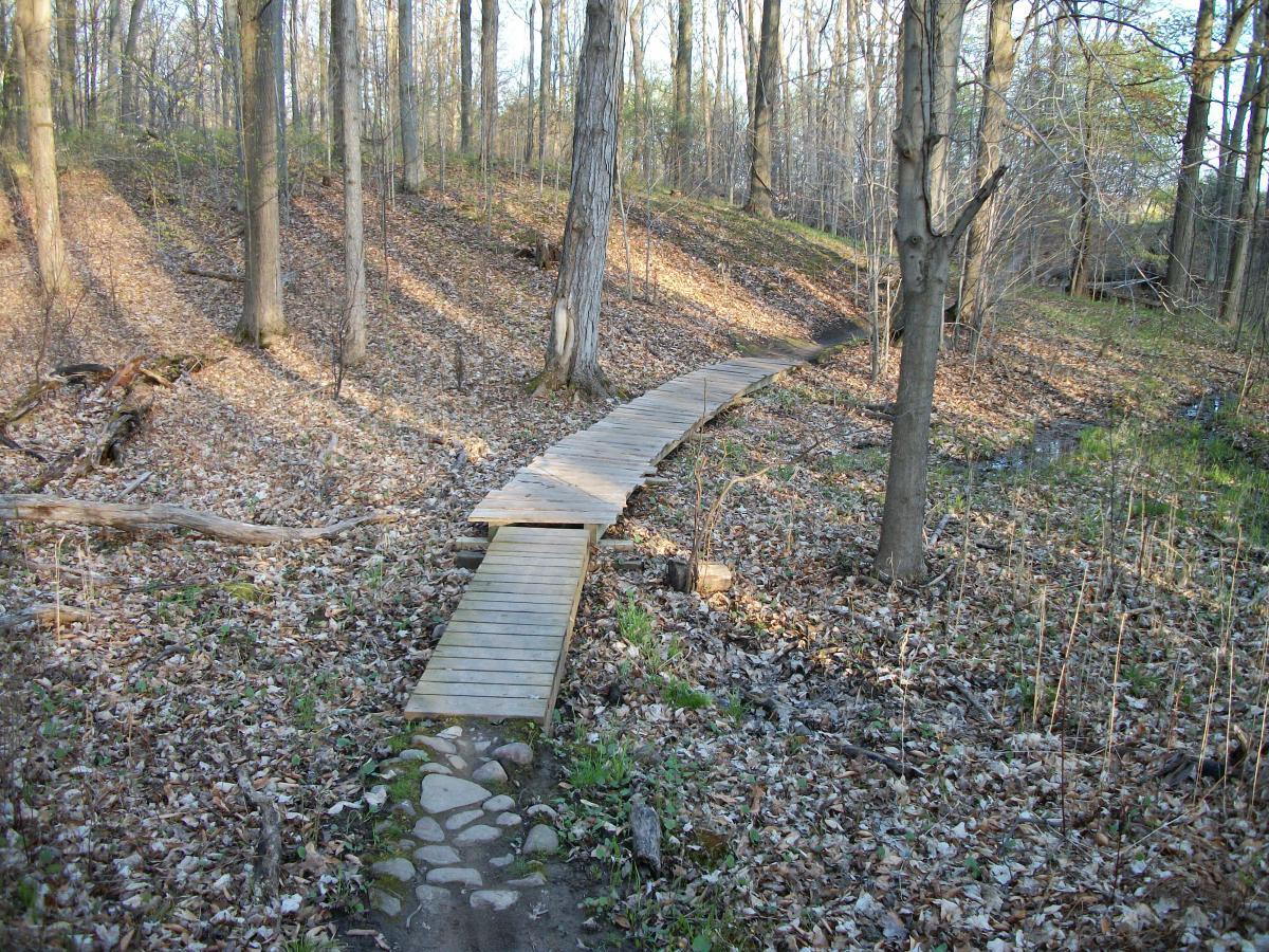
This park was dedicated in May, 2004. Dryer Road Park is the site of two multi-purpose athletic fields as well as a box rink for lacrosse, soccer and in-line hockey. In addition, children and families can enjoy a multi-age playground and year round park building. Dryer Road Park boasts the region’s most diverse multi-use trail system for hiking , mountain biking, snowshoeing and cross-country skiing. The park links Victor’s Native American past with our future.
Acreage: 132 Acres
Length of Trails: 15 Miles
Features:
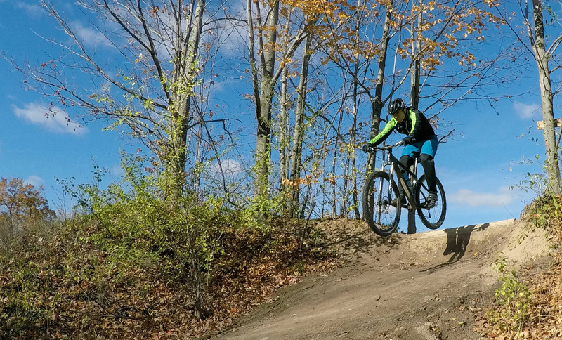
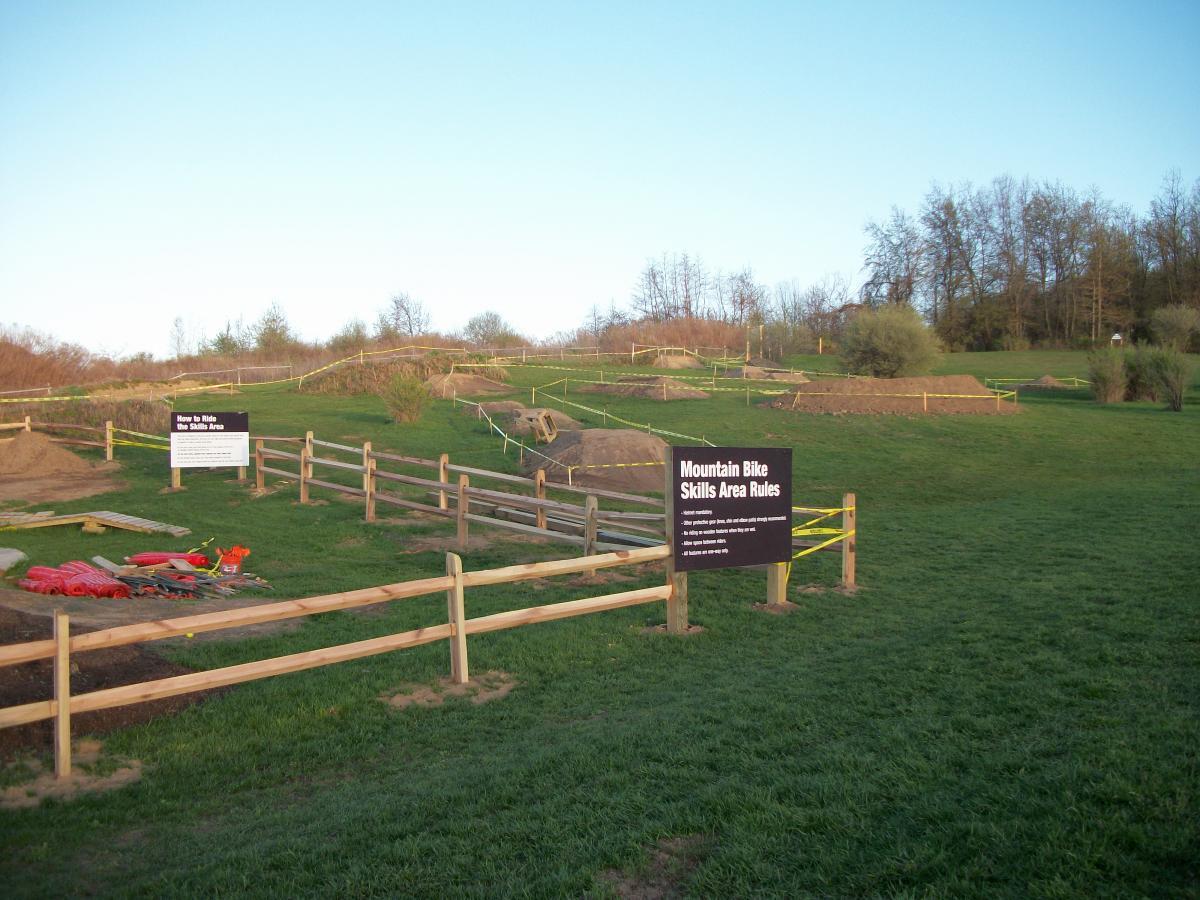
- Bicycle Skills Area / Pump Track / Jump Lines
- Box Rink
- Children’s Playground
- Multi-Use Trails
- Picnic Shelters
- Rectangle Athletic Fields
- Year-Round Bathrooms
Click here to download the latest printable trail map.
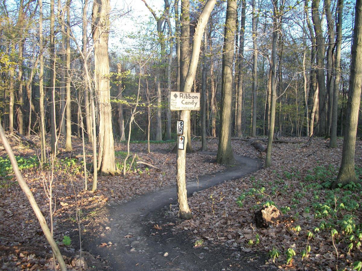
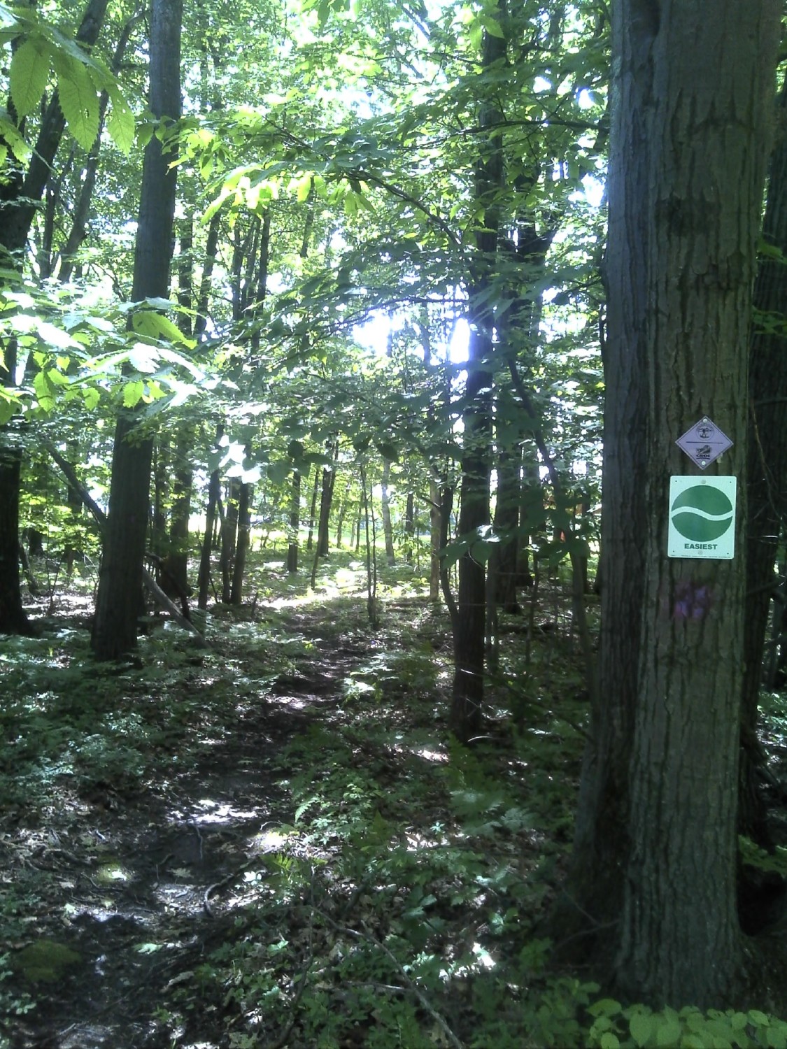
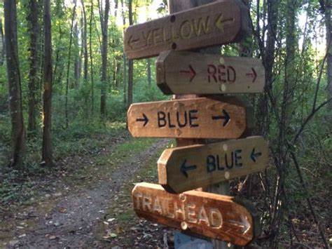
The Trail Steward for DRP has marked a loop of trails with wooden stakes painted at the top with fluorescent pink. The “pink loop” trails are a combination of green (easy) and blue (moderate) ranked trails to loop from the parking lot trail entrance and back. It may be utilized counterclockwise or clockwise.
The counterclockwise route utilizes Kaleidoscope which is a great start for new riders. From there the newly EXTENDED Big Easy may be used to the upper grass fields. There is even a “Big Easy Out” that allows you to bale out on the ascent by taking the easy out that will pop out to Gully leading back down to Kaleidoscope.
The main intention is to provide riders who are new to the park the opportunity to get a full view of most trail intersections throughout the park while following a marked loop, knowing they will always make it home if they follow the pink stakes.
Keep an eye out for fluorescent yellow painted stakes that will be loop trails starting and returning to the pink loop. They will descend and ascend blue (moderate) and black (difficult) trails to provide more experienced riders a challenging view of the parks other trails all connecting back to the pink loop to lead you out when needed.
Click here to view a map of the pink and yellow loops.
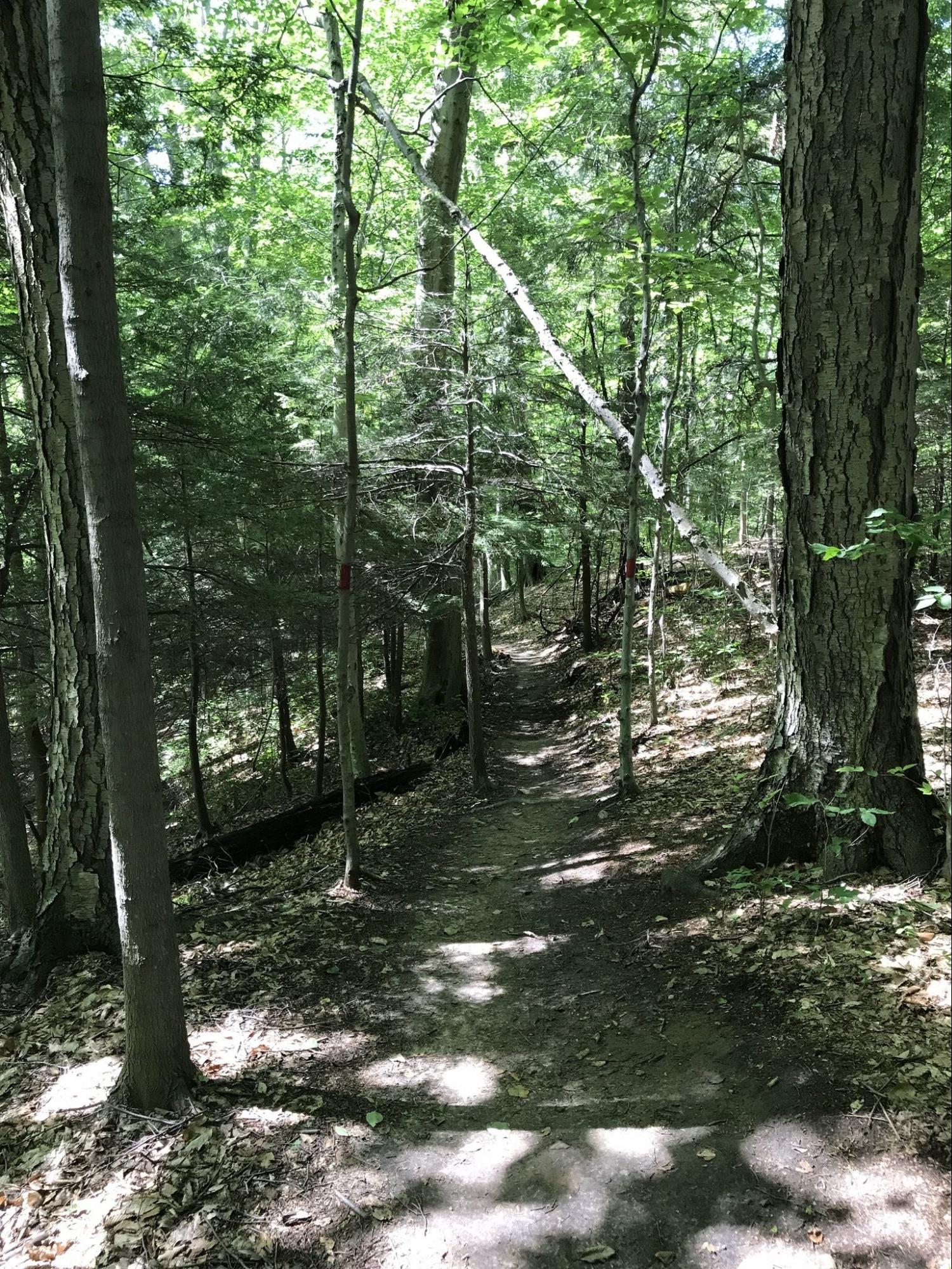
Hickory Ridge
Naples • 4 milesBeginner - Intermediate
The Hickory Ridge trail system opened to the public in June 2024 with 4 miles of mountain-bike optimized shared-use trails. Phase 2 added two additional trails (Hoverfly and Plow) in September of 2024. Hoverfly is a fast and fun gravity style bike trail.
Please be aware Hickory Ridge is closed during regular hunting season starting the third weekend in November until January 1st and will continue to be closed until conditions permit in the spring.
Click here to download the latest printable trail map.
Irondequoit Bay Park West
Irondequoit • 6 milesBeginner - Advanced
Irondequoit Bay Park West was the second park in Monroe county to be opened to shared-use trails. A network of brand-new trails designed and constructed by GROC volunteers takes riders along a ridge overlooking the bay, through an open canopy showcasing a variety of local plants and wildlife. Great experiences can be had here by riders of any skill level, and there are multiple ways into the park.
Main trailheads are available near the Irondequoit Fish & Game Club at 658 Bay Front South, and at 400 Orchard Park Boulevard.
Click Here to download the latest printable trail map.
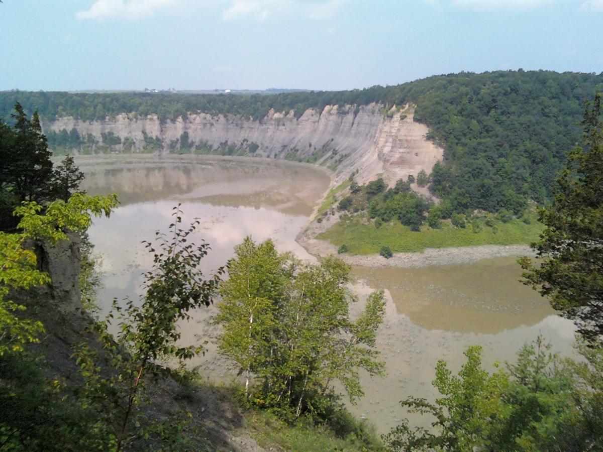
Ontario County Park
Naples • 14 milesBeginner - Advanced
There’s no better place to slip away to than the highest point in Ontario County, Gannett Hill Park, in the scenic Bristol Hills. At an elevation of 2,256 feet above sea level, you’ll have expansive views to the East; view portions of Ontario County and the hills behind Seneca and Cayuga Lakes. Beginner and intermediate users will enjoy the yellow and purple trails, which wind along the hillside.
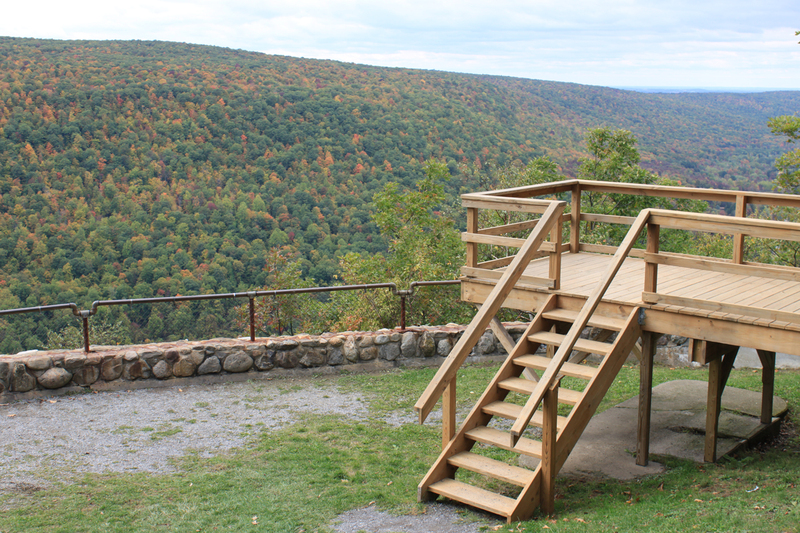
A panorama, changing with every season is the Northeast. From the “Look Out” can view the Bristol Hills. The new Black trail takes more advanced riders on a long winding descent into the rocky terrain, with a slow climb back up to park level.
Click here to download the latest printable trail map.
Stid Hill
Bristol • 5 milesIntermediate to Advanced
The Stid Hill Wildlife Management area is 1035 acres and sits on the east side of the valley just across from Bristol Mountain Ski Resort. Access to the property by bike is available via two entrances on Route 64 and an entrance off Dugway Rd.
Typical Trail Conditions & Restrictions
Access to the trail system during early spring is not possible due to the flooding of Mud Creek during peak snow melt. During this period of time, much of the trail system becomes waterlogged and is not rideable until early or mid May.
The DEC requests that riders stay off the trails during hunting seasons. Visit the DEC’s website for the hunting season calendar.
Click here to download the latest printable map.
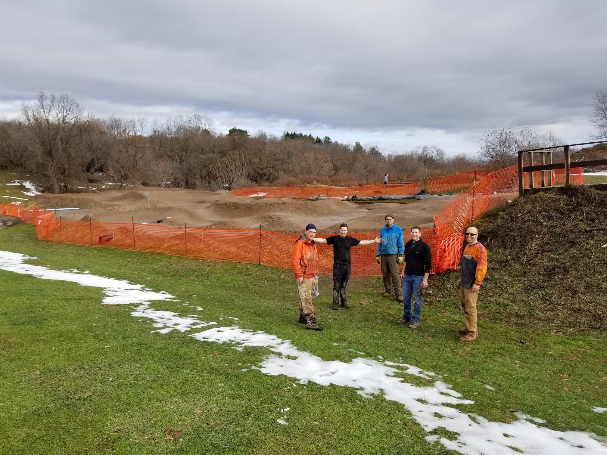
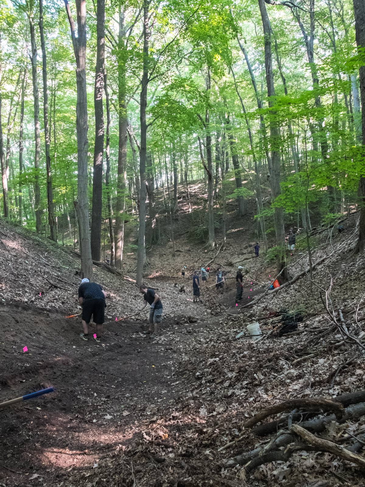
Trail Stewardship
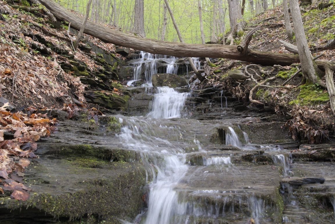
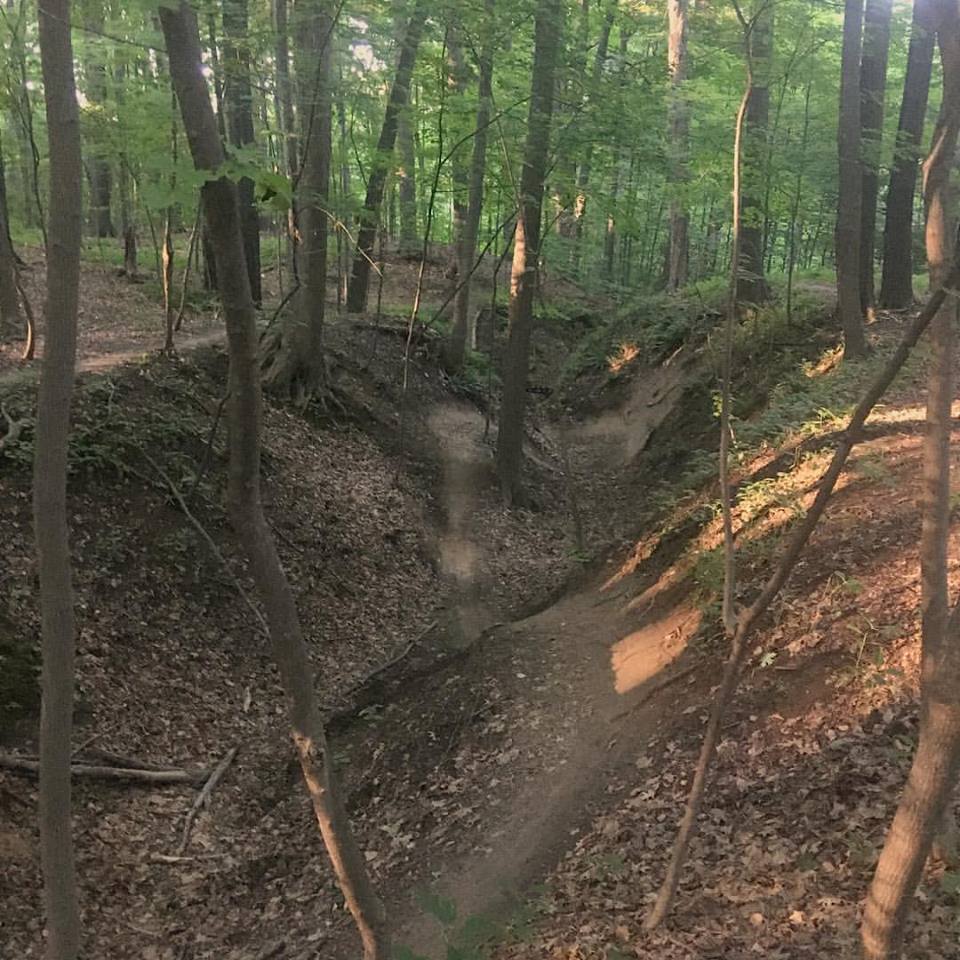
Working with the DEC, GROC is leading trail stewardship activities at the Stid Hill WMA. In 2023, the DEC approved more than a mile of new trail. This new section of trail features creek crossings, boulder fields and natural rock gardens.
Please be aware: Wild parsnip has been found growing at the trailhead at the North Entrance on Route 64. It can create a skin reaction similar to poison ivy. The sap reacts with sun light to create blisters. It is recommended that users stay on the trail and learn how to identify wild parsnip [https://nyis.info/invasive_species/wild-parsnip/]. Gloves and long sleeves are recommended for trail work. Weed wacker or string trimmers are not recommended as they will spray the sap onto the operator. Wild parsnip has a yellow flower that will likely appear mid summer and a stem that looks similar to celery.
Get Involved
Please check the event calendar for our scheduled digs. If you would like to get involved, please email trails@mygroc.com.
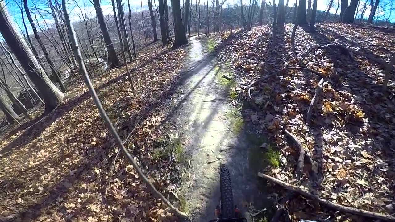
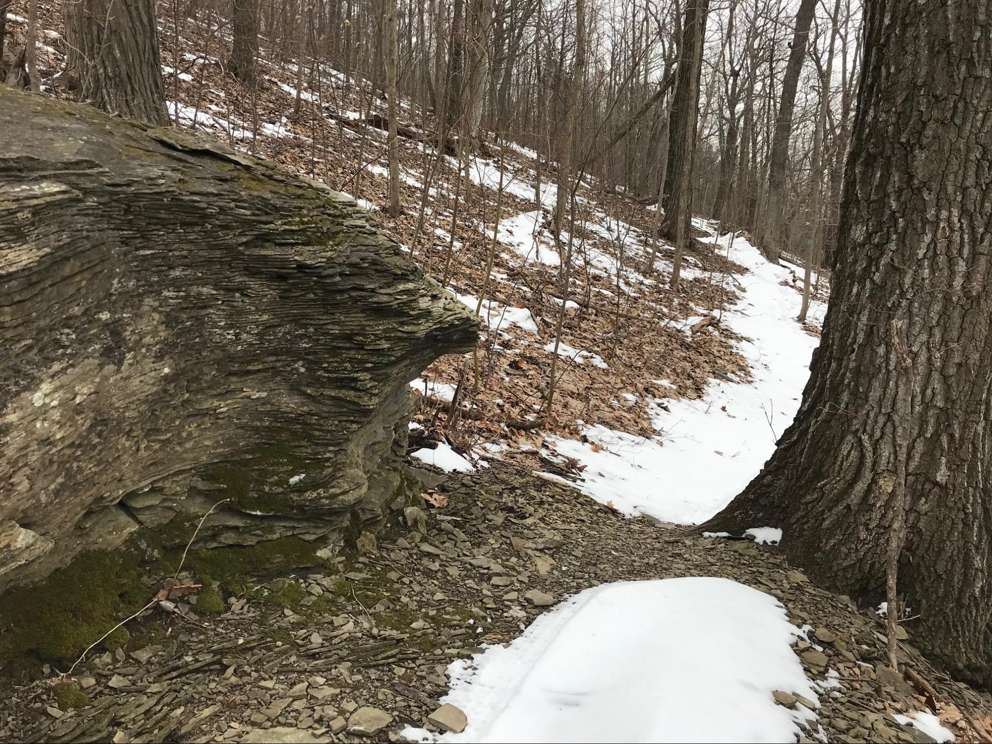
Tryon Park
Rochester • 10 milesIntermediate - Expert
Tryon Park provides 10+ miles of shared use trails in the middle of Monroe county. Featuring more rugged and natural terrain, this park is well suited for more experienced mountain bikers looking to tackle technical terrain. The north end of the park features trails well suited to riders looking to go fast and get some air on steep terrain, while the south end features several technical features to sharpen your skills. A snaking network of trails connects the two ends of the park, taking riders through a wide variety of local terrain.
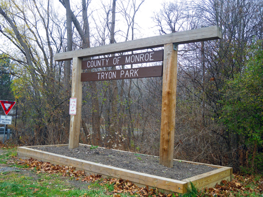
Trailhead and parking are available at the end of Tryon Park after the 590 bridge, off the intersection of Winton Road and Tryon Park.
Harriet Hollister Spencer State Recreation Area
Springwater • 9 milesBeginner - Advanced
Harriet Hollister Spencer Recreation Area provides picnic tables, hiking, cross-country skiing and biking trails. There is one pavilion available at Harriet Hollister Spencer State Recreation Area.
*Please contact (585) 335-8111 (Stony Brook’s Park Office) for more information about Harriet Hollister Spence Recreation Area.
Acreage: 679 Acres
Length of Trails: 9 Miles
Amenities
- Grills
- Pavilions
- Picnic Tables
Activities
- Biking
- Hiking
- Hunting
- Snowmobiling
- Snowshoeing Trails
- X-Country Skiing
Deer hunting (bow, shotgun & muzzleloading rifle) is permitted in season. Please reference the NYS DEC Hunting and Trapping Guide for current dates and rules. There is no small game hunting at Harriet Hollister Spencer at any time.
In the winter, cross-country ski grooming is provided by the RXCSF. Winter cycling is permitted; please avoid disturbing the ski tracks and yield to skiers.
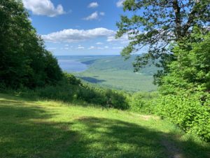
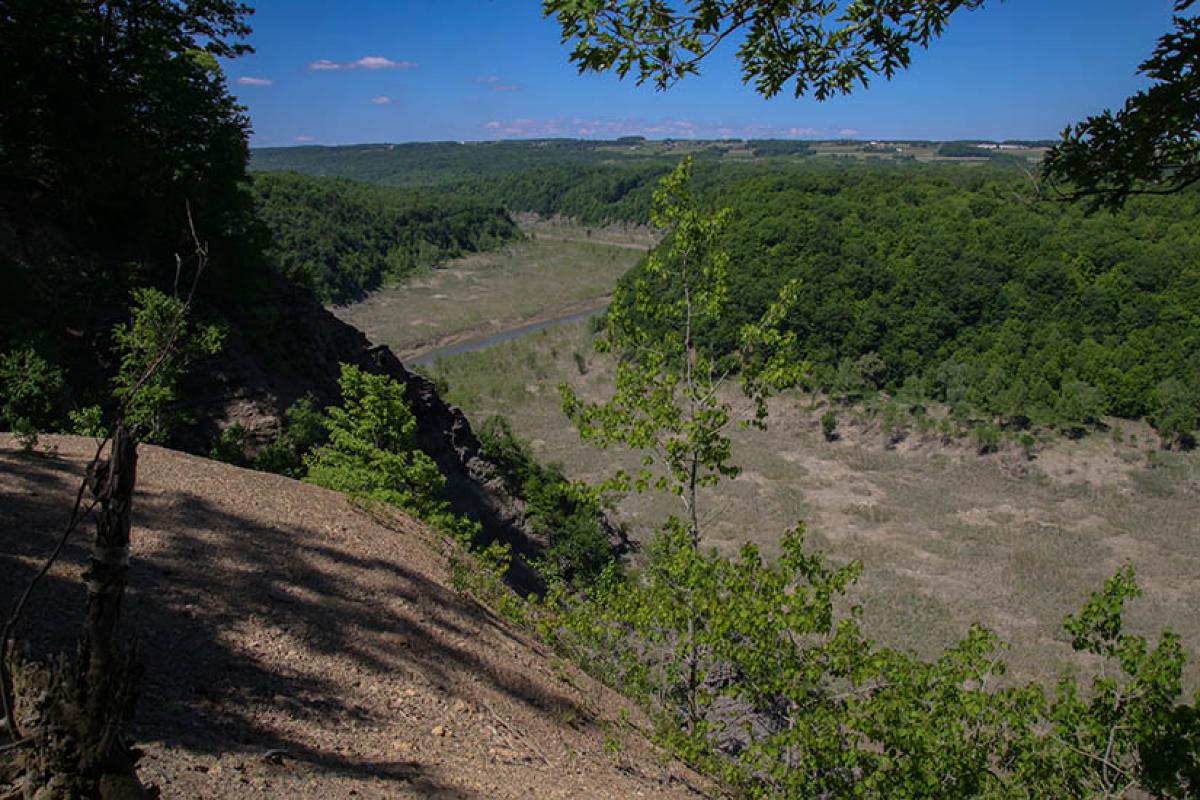
Letchworth State Park
Mt. Morris • 22 milesIntermediate
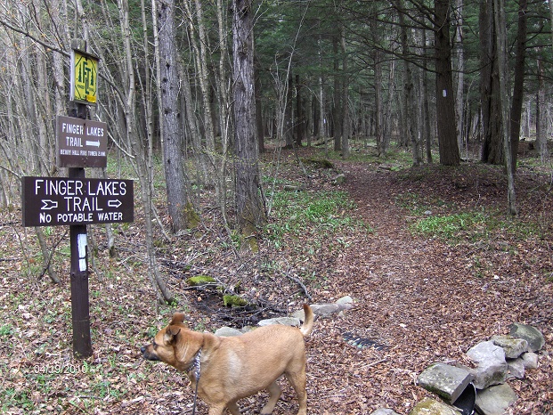
This 14,350 acre Letchworth State Park, the “Grand Canyon of the East,” is one of the most scenic areas in the eastern U.S. The Genesee River roars through the deep gorge over three major waterfalls. The shale and sandstone cliffs rise as high as 600 feet in places. Through an agreement with the Finger Lakes Trail Conference, cyclists are permitted on a stretch of the historic Finger Lakes Trail within the park.
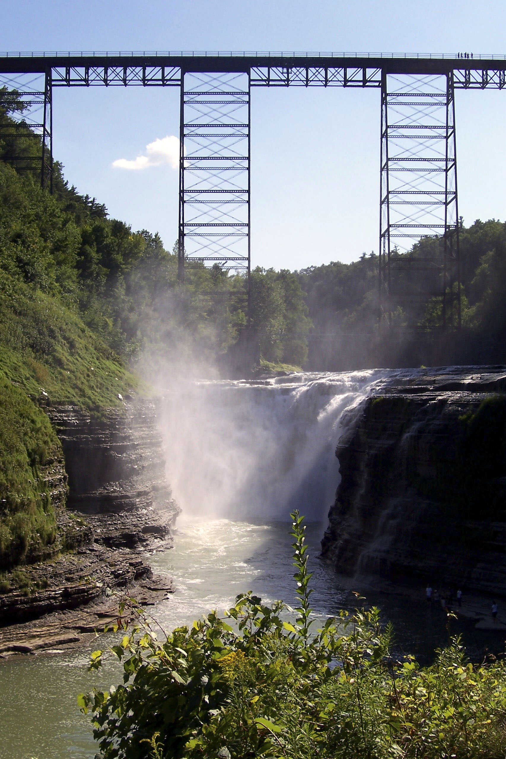
Please note that the trails are only open for riding from June 1st to October 31st.
The trailhead is available near the dam, at 2763 Visitor Center Road in Mt. Morris. Keep in mind this is a big out and back – you can bail to the road, or arrange a shuttle with a friend!
Click here to download the latest printable trail map.
Whiting Road Nature Preserve
Webster • 6 milesBeginner - Intermediate
This trail system is a small but bountiful place for a beginner or intermediate rider. The preserve consists of approximately 240 acres of land purchased by the Town of Webster under the open space referendum. Open to shared use, including hiking, biking, snowshoeing, and cross country skiing. Provides great fatbike riding in the winter when packed down!
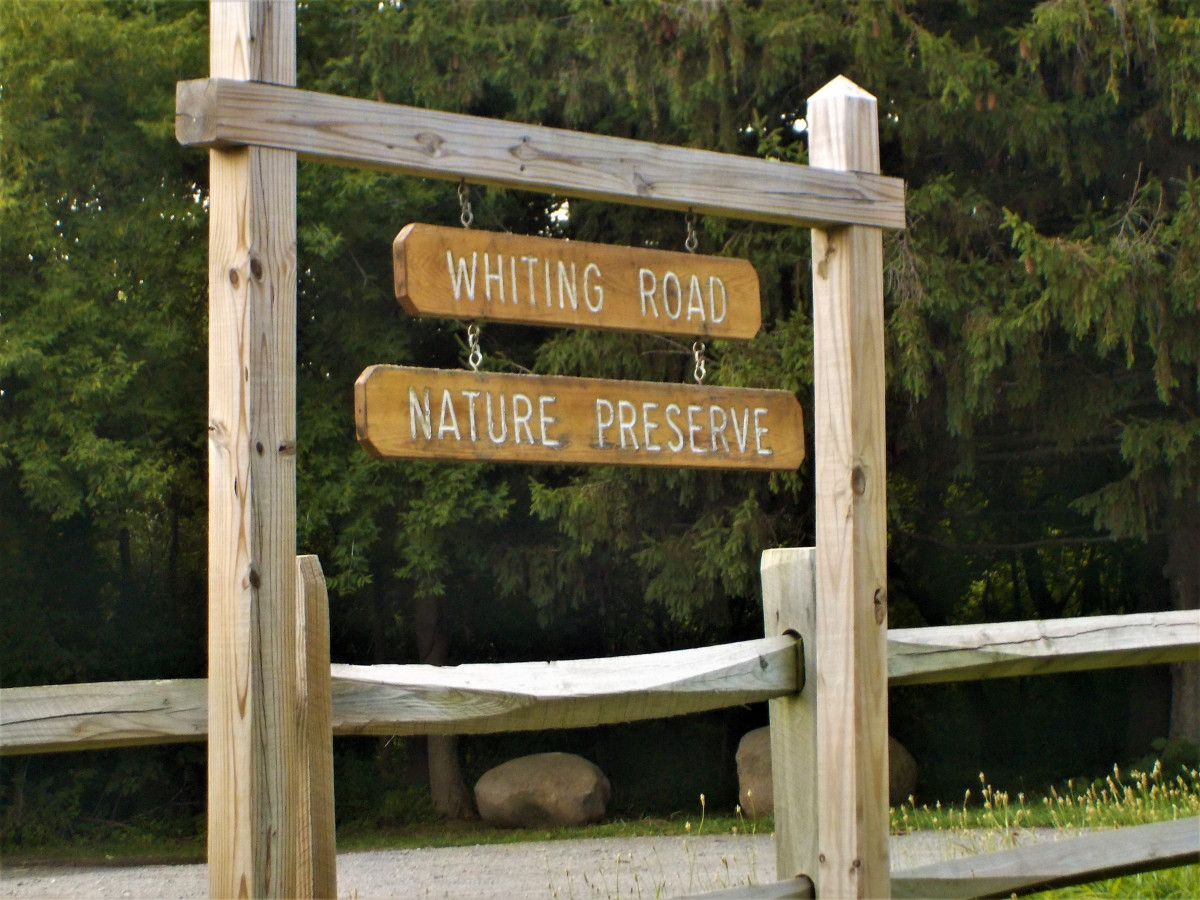
Click here to download the latest printable map
Other Places to Ride
In addition to the parks that GROC constructs and maintains multi-use trails in, there are many rail trails and nature preserves in the area that are open to bikes. Rail trails can provide great riding when the singletrack is too wet, and there are plenty in the greater Rochester area.
For more singletrack to the east and west, check out Saratoga MTB, Cycle-CNY, CNY D.I.R.T and WNYMBA.
Erie Canal Trail
The Erie Canalway Trail is a cycling destination for riders of all abilities. Following one of the world’s most famous manmade waterways, it spans New York State between Albany and Buffalo. Whether enjoying a leisurely ride from one village to another or spending a week completing the entire 360 miles, the Erie Canalway Trail offers endless adventures exploring the charming towns, living history, scenic beauty and cultural attractions of New York State.
Lehigh Valley Trail
This 15-mile linear trail park is located in the southern-most portion of Monroe County, beginning at the Genesee River and extending through the Towns of Rush and Mendon to the Ontario County Line, and extending north to the Town of Henrietta.
Genesee Valley Greenway
The Genesee Valley Greenway State Park is one of hundreds of greenways being developed across the nation along old canals, abandoned rail beds, and riverbanks. It passes through scenic woodlands, river and stream valleys, rolling farmlands, steep gorges, and historic villages located in sixteen towns in Monroe, Livingston, Wyoming, Allegany, and Cattaraugus counties in New York State.
Ontario Pathways
Ontario Pathways is a twenty five mile system comprised of a 23.3 mile multi-use rail trail with an additional three loop trails for another 1.7 miles of hiking-only trail. Located in Ontario County, the trail is open year round from dawn to dusk and is free to the general public to use.
Auburn Trail
The Auburn Trail is a major cross-town, multi-use pathway, which provides connections to other trails and an up-close view of one of the oldest railroad buildings in the country.